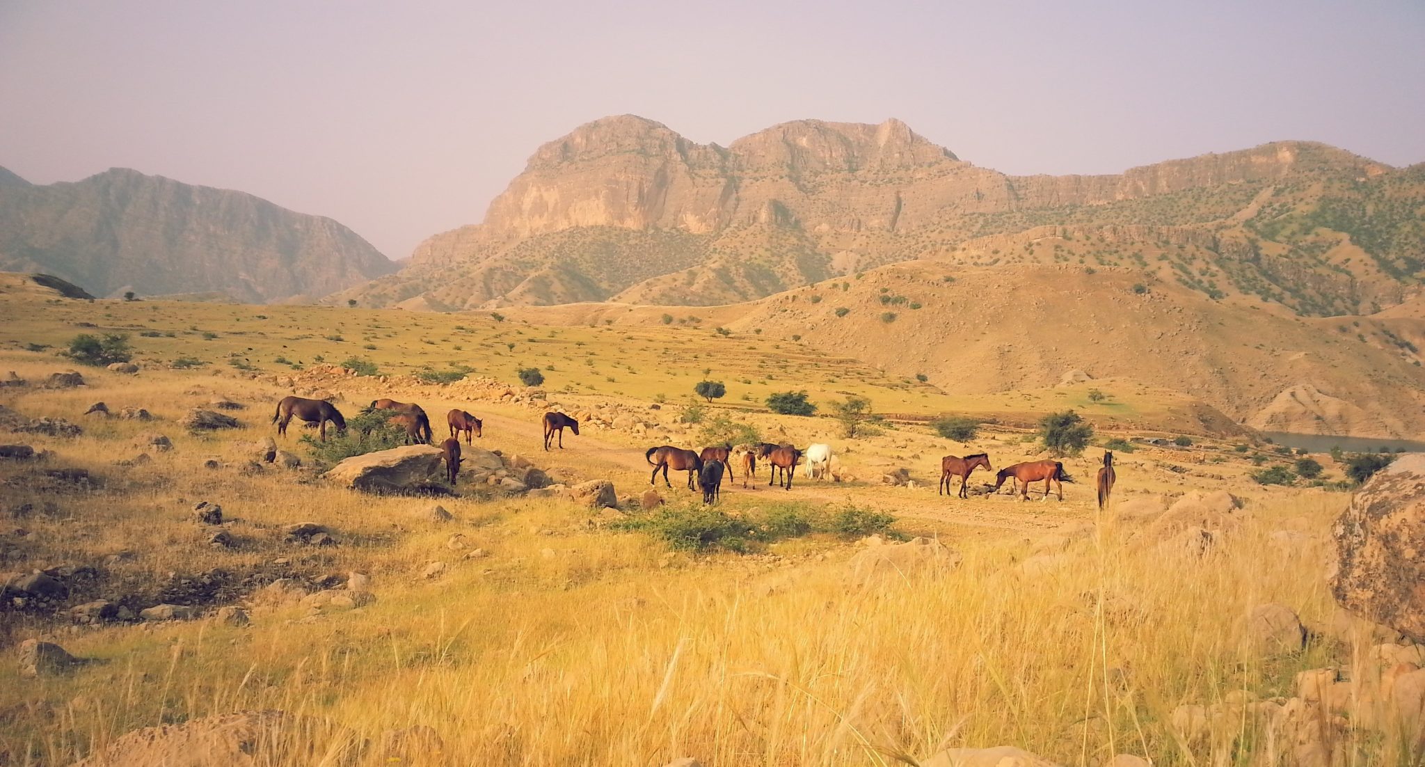
Modelling movement across the Iranian Plateau in the 4th and 3rd millennia BCE
Awardee: Friederike Jürcke
Year: 2023

The aim of this project is to reconsider the nature of interactions in Chalcolithic and Early Bronze Age south-eastern Iran. The late Chalcolithic and Early Bronze Age (4th and 3rd millennia BC) were periods of significant socio-cultural change in West Asia. Settlements grew into early cities with evidence for increasing social and economic complexity. Technological innovations were taking place in various areas, including in ceramic production, metal working, subsistence practices and administrative technologies. Contact between disparate communities over increasingly long distances forms an integral part of these changes. Studies of the ceramic assemblages of the region and renewed field
work in the last ten years are refocussing attention on the local and regional dynamics and produce a picture of a cultural patchwork, where exchanged materials are part of diverse local assemblages. This renewed focus tells a nuanced story of diversity and interaction at various spatial scales and highlights the complexity of the interactions that took place across the Iranian Plateau.
The project draws together material evidence for interaction, locational data for settlements, ethno-historical data from travellers’ accounts and environmental information to understand how the ancient communities were connected in and across their landscapes. Looking at interaction across the region at three different spatial scales, a series of questions about the interactions between disparate communities, challenges and opportunities within the landscape and the relationship between these two are addressed.
A central component of the project is the adaptation and development of a multi-factor, probabilistic geospatial model of corridors of movement for the regional scale and at high resolution. This model has been tested for applicability in the region using ethnohistorical data and allows us to approach the question of what characterises the landscapes of interaction in south-eastern Iran. Drawing on legacy data, case studies of material evidence serve to identify and illustrate the nature and dynamics of interaction between intermontane valleys, fans and alluvial plains that were occupied in the 4th and 3rd millennia BC. The ethnohistorical sources used to test the corridor model also provide information on the physicality of medium- and long-distance movement in south-eastern Iran. The importance of interregional trade for local communities is explored through statistically analysing factors for the choice of settlement locations. One fundamental question to be answered is: What role did the regional and interregional corridors of movement play in the choice of settlement locations? Were settlement locations influenced by strategic considerations relating to trade routes? Point process modelling lends itself to this task as it can statistically compare models of interacting variables, which could explain the densities of point patterns. This allows to quantitatively assess what impact (if any) the interregional and local networks of corridors had on the location of the settlements of each valley.
About the awardee
Friederike Jürcke is PhD candidate at the University of Cambridge in the Department of Archaeology.